
Carbon Management
Using successive LiDAR-derived tree inventories to measure forest carbon capture
THE SOLUTION
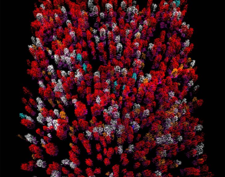
LiDAR technology now allows us to cost-effectively collect accurate and detailed tree information across entire landscapes. LiDAR uses laser pulses to generate a 3-dimensional measurement of the ground and vegetation from which attributes of single trees can be derived.
Using technology called Treeid, Quatern Limited Partnership will predict the height, diameter, volume and species of individual trees using LiDAR data collected several years apart. This will be used to quantify the rate at which trees grew in forests that were fertilized compared to those that were not.
This project will be led by Quatern Limited Partnership, a limited partnership between Quatsino First Nations and Western Forest Products, and will demonstrate how this technology can quantify the rate at which trees sequester carbon and the ability of BC’s forests to fight climate change. While this project specifically focuses on fertilization, this is a demonstration of a technology that could be applied to other forest management treatments such as reforestation and thinning.
- PROJECT STATUS
- Active
- PROJECT CATEGORY
- Carbon Management
- FUNDING RECIPIENT
- Quatern Limited Partnership
- CICE FUNDING AMOUNT
- $351,000
- PROJECT VALUE
- $1,138,800
-
“This project is critical as it will allow us to quantify the rate that forests are sequestering carbon with and without fertilization, under different fertilization treatments, across different stand types, and for different tree species. This will enable us to better deploy fertilization treatments to ensure that the forests we manage are most actively fighting climate change.”
